I have been working a great deal lately and have had to leave my blog for a few weeks. I feel as if I am coming back to an old friend here as I begin to type again.
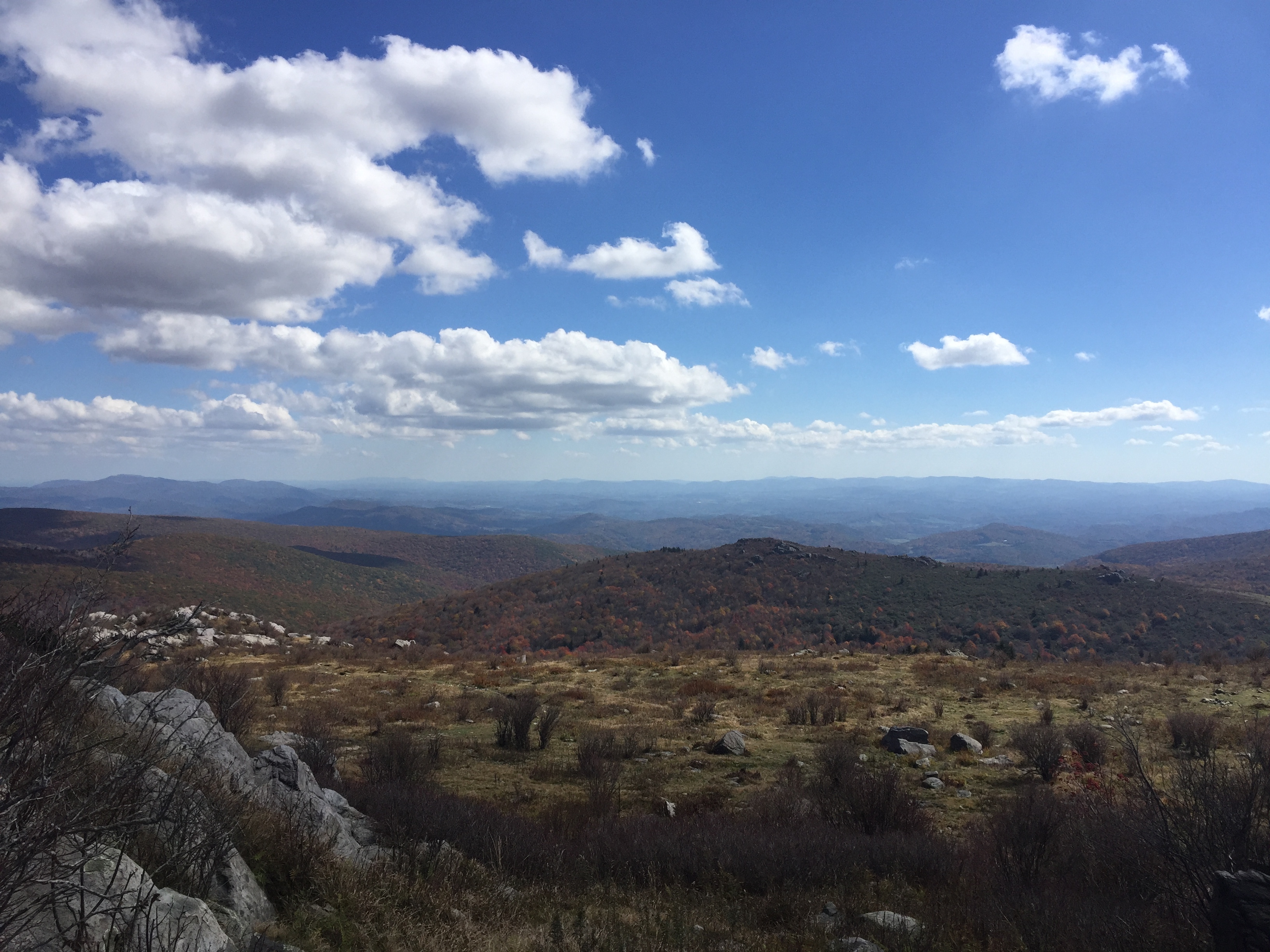
I find myself relishing our new home and surroundings and yet I am filled with the realization that this place and area have been home to many before me. I am increasingly curious about those who were here before. What were their thoughts as they built cabins and homes on these slopes? What drove them to pick a specific spot or location? Was it water? Of course a nearby source of water was crucial, and yet I wonder if that was the sole criteria for their choices?
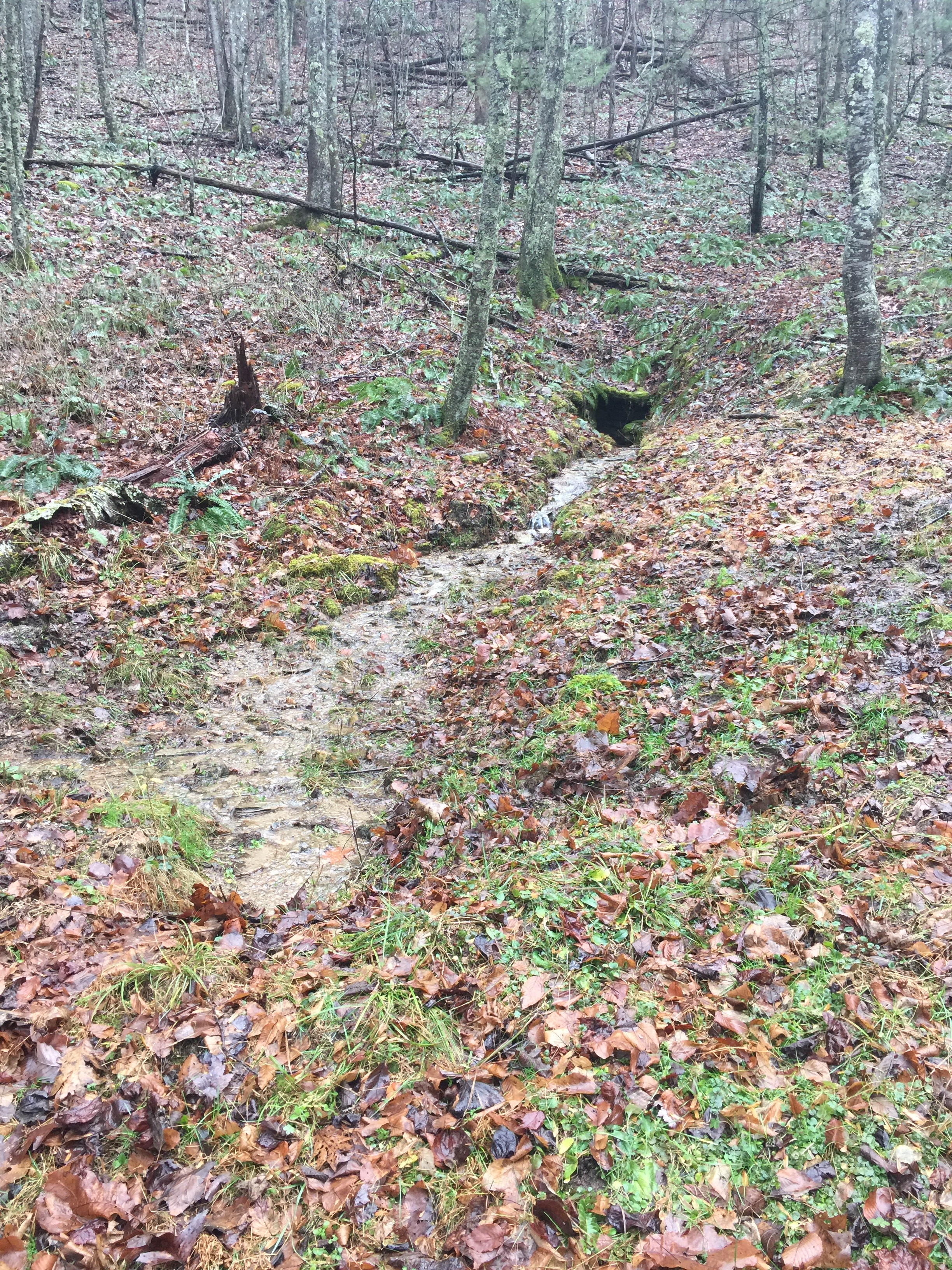
I absolutely love the small spring house on our property! It is such a perfect small stone shelter to cover the opening the spring has found in the side of the mountain. And so I began to wonder about the person or family who built it. Who were they? Was it possible to find out who had owned this property many years ago? These questions were quickly followed by an even more difficult one–how do you find out who owned property?
Of course, my first thoughts were to go to the court house to research earlier land grants or deeds. But my search did not begin with those faded heavy ledgers, as I realized that the specific data I wanted may not be available due to a fire in the old courthouse in the county long ago. And so I began by looking at the Library of Virginia records and documents for land grants and deeds.
What I found was not the specific land grant that I was hoping to find, but a glimpse into the history of these mountains that amazed me. Let me share with you the wording on one specific land grant for property nearby. It was for 18 acres and the date is March 14th, 1878. “Beginning at a birch by a branch corner to the Lands of WM Mink and with said Mink’s line up said branch binding thereore S 60 W 94 poles to a Maple by said branch. S 25 & 20 poles to a white oak by said branch. S 95 & 19 poles to a white oak on a flat ridge; S 77 & 80 poles to a chestnut in a line of survey.”
Here is another small quotation from a land grant of 806 acres dated Dec 3rd, 1877. It reads, “N 26 poles to a hickory in a holler, N 64 & 12 poles. N5 W 10 poles to a white oak chestnut & hickory saplings in a line of a 410 acre survey patented to J Roberts with lines thereof.”
My first thoughts were, “how am I ever going to be able to tell exactly where these properties were?” These trees as boundaries? A hickory in a holler? The realization of the changes brought by time would make these old lines truly a thing of the past. The chestnut trees here in Appalachia were unbelievable in the 1800s and into the early 1900s until they were destroyed by a blight. And yet, land grant after land grant that I read stated from one chestnut to another.
This was likely very easy for those gentlemen to follow in those days. The early American chestnut trees were later called “the redwoods of the East”. They were 100 feet tall or more and stood with 50 feet or so of their trunks without branches. They could have trunks of 16 feet in diameter. “In most places, every fourth tree was a chestnut, and along vast ridges…” https://www.ourstate.com/american-chestnut/.


Virgin forests have been reduced so greatly over time in Appalachia as in other areas of the country. The blight that destroyed the American chestnut was not man made but it was unbelievably devastating to the species. Chestnut had been used for furniture, tanning hides, and of course fencing. It was very gratifying to read that there are efforts underway however to bring the great tree back to the mountains with a little help from science.
The language of the early land grants seemed very foreign to me as I read through them. What was a “pole”, I asked myself. And that prompted more research of course. I found a “Land Terminology” web site that was focused on Tennessee but found that it held true for those in North Carolina and Virginia as well. A “pole” was a “survey measurement of 1/4 Chain or sixteen and one half feet”. http://www.tngenweb.org/tnland/terms.htm This definition prompted more searching as I had to know what a chain was. And here is the definition of a “chain”; “A measuring device usually made of wrought iron links, used to establish the metes and bounds of land during surveys. A chain is sixty six feet in length. The 1806 law required to be used, a chain of two perches of sixteen and one half feet each or a total length of thirty three feet. …No matter the length of the chain, the recorded ‘chain’ is always sixty six feet, except, we have reports of a strange short chain in East Tennessee. D. Morton Rose Jr, tells of the ‘Mountain Chain’, also called a ‘Blount’ or ‘Sevier County chain’ that is thirty three feet in length.” http://www.tngenweb.org/tnland/terms.htm

It was someone’s job to carry the chain and they were sworn by oath to the honesty of their work. They were at times a family member of the one seeking the claim to the land. Hiking on these ridges one can imagine how a shorter mountain chain would have made these measurements a little easier.
As I have been seeking answers to these questions and wanting to find more about the people who lived on this side of the mountain before me, I have been learning fantastic details I had never heard or read before. I know settlers were here long ago–too much evidence of their work and efforts lie on the side of this ridge in the piles of stone and the stone covering over the spring. And then it was a chance encounter that my husband had with a long time resident of the local area that provided at least part of my answers. He related that a brother of another early 1900s land owner nearby had owned this property for a time and built the spring house cover but had never built a home or structure here. I’ve gotten his name but can’t find his specific information such as a deed yet… And who was here before he was? The research then continues.